Αρχείο:LocationOceans.png
Μέγεθος αυτής της προεπισκόπησης: 800 × 407 εικονοστοιχεία . Άλλες αναλύσεις: 320 × 163 εικονοστοιχεία | 640 × 326 εικονοστοιχεία | 1.024 × 521 εικονοστοιχεία | 1.280 × 651 εικονοστοιχεία | 2.759 × 1.404 εικονοστοιχεία.
Πρωτότυπο αρχείο (2.759 × 1.404 εικονοστοιχεία, μέγεθος αρχείου: 55 KB, τύπος MIME: image/png)

|
This locator map image could be re-created using vector graphics as an SVG file. This has several advantages; see Commons:Media for cleanup for more information. If an SVG form of this image is available, please upload it and afterwards replace this template with
{{vector version available|new image name}}.
It is recommended to name the SVG file “LocationOceans.svg”—then the template Vector version available (or Vva) does not need the new image name parameter. |
Σύνοψη
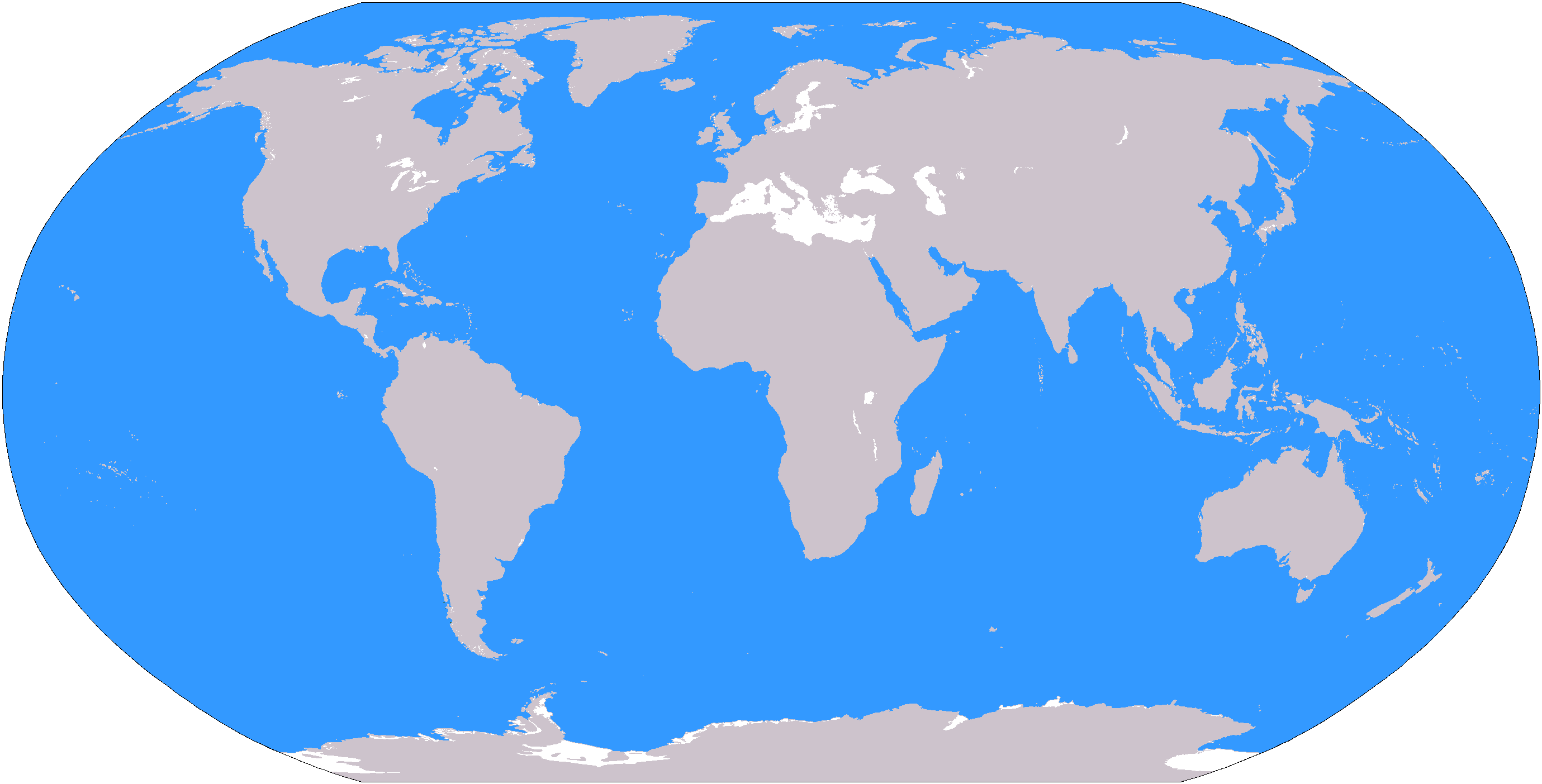
The large plain-grey Image:LocationWorld.png map modified to show oceanic areas in blue.
Αδειοδότηση
This image is in the public domain because it contains materials that originally came from the United States Central Intelligence Agency's World Factbook.
|
 |
Ιστορικό αρχείου
Πατήστε σε μια ημερομηνία/ώρα για να δείτε το αρχείο όπως εμφανιζόταν εκείνη την χρονική στιγμή.
| Ημερομηνία/Ώρα | Μικρογραφία | Διαστάσεις | Χρήστης | Σχόλιο | |
|---|---|---|---|---|---|
| τρέχον | 19:26, 8 Μαρτίου 2006 | | 2.759 × 1.404 (55 KB) | David Kernow~commonswiki | The large plain-grey Image:LocationWorld.png map modified to show oceanic areas in blue. |
Χρήση αρχείου
Η ακόλουθη σελίδα χρησιμοποιεί προς αυτό το αρχείο:
Καθολική χρήση αρχείου
Τα ακόλουθα άλλα wiki χρησιμοποιούν αυτό το αρχείο:
- Χρήση σε af.wikipedia.org
- Australasië
- Midde-Ooste
- Sentraal-Amerika
- Atlantiese Oseaan
- Suider-Afrika
- Indiese Oseaan
- Suidelike Oseaan
- Arktiese Oseaan
- Stille Oseaan
- Latyns-Amerika
- Oos-Asië
- Sjabloon:Gebiede van die wêreld
- Noord-Europa
- Melanesië
- Mikronesië
- Polinesië
- Oos-Afrika
- Wes-Afrika
- Noord-Afrika
- Oos-Europa
- Verre Ooste
- Sentraal-Afrika
- Afrika suid van die Sahara
- Seelandië
- Noordpoolgebied
- Karibiese gebied
- Indiese subkontinent
- Suidoos-Asië
- Wes-Asië
- Wes-Europa
- Suid-Europa
- Suid-Asië
- Sentraal-Asië
- Sentraal-Europa
- Suidoos-Europa
- Noord-Asië
- Χρήση σε ar.wikipedia.org
Δείτε περισσότερη καθολική χρήση αυτού του αρχείου.